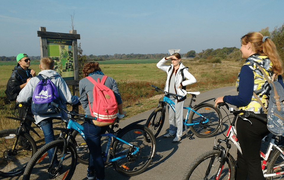
The multi-day cycling route “Green Serpentine” was developed by the staff of the Pribuzhskoye Polesie nature reserve and covers the entire territory of the Pribuzhskoye Polesie biosphere reserve. The length of the route is about 80 km. The route, for the most part, runs along asphalt or gravel roads, less often along country or forest roads. The best means of transportation is a mountain bike.
On the route you can see all the variety of natural complexes presented on the territory of the reserve, architectural monuments, as well as a large number of plants and animals that live here. Practically all types of forest ecosystems in Belarus, including spruce, oak, pine and alder forests; rivers and river floodplains, including fragments of the floodplain of the r. Western Bug, lakes and ponds, as well as typical rural architecture, sacred objects, several museums.
Route and main objects of tourist interest along the route (the distance to the next route point is indicated in brackets):
Znamenka village (5 km) → Agro-town Medno (6 km): Church of the Transfiguration (late 18th century), Museum of National Glory, Medno neighborhood – Mednyanskoe lake, Stradechskoe lake → Brestagrozdravnitsa / Berestye sanatorium (6 km) → Beloe lake neighborhood ( 2 km): ecological trail “Mezhozernaya” → railway station “Dubitsa” (1898) (5 km) → ponds in the floodplain of the river. Kopayuvka (1 km) → urban-type settlement Domachevo (1 km): Church of the Immaculate Conception of the Most Holy Virgin Mary (1854), Orthodox Church of St. Luke (1905) → Borisy village (4 km) → Podluzhie village (1 km) → Bogdany village (7 km) → Kharsy village (3 km) → Priborovo village (4 km) → Selyakhi village (2 km): Selyakhinskaya mountain, 182.3 meters high, the highest point of the Pribuzhskoe Polesie reserve → Komarovka village (3 km ): the house where the first cosmonaut of Belarus lived. P.I. Klimuk → agro-town Tomashovka (5 km): museum of cosmonautics, military cemetery during the 1st World War, railway station “Wlodava” (late 19th century), Orkhovo reservoir → Lake Selyakhi (5 km) → exit from the P94 road to the local road (8 km) → Dubok village (5 km): Church of the Holy Prophet Elijah at the end of the 18th-beginning of the 19th century. → Chersk village (3 km): Church of St. Michael the Archangel of the early 18th century. → the village of Rudnya (3 km) → the village of Leplevka (4 km): Center for Environmental Education and Tourism of the State Public Institution “Republican Reserve” Pribuzhskoe Polesie “